Top 5 Scenic Autumn Road Trips in Europe: A Colourful Journey Through Autumn Foliage
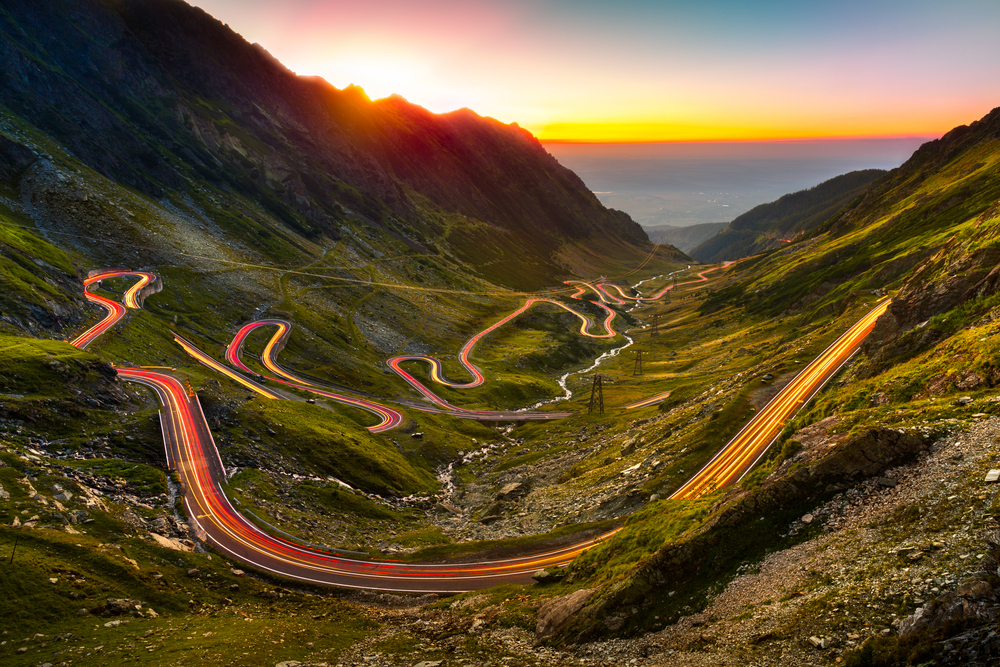
Picture this: you’re cruising down a winding road, surrounded by trees ablaze with autumn colours. The crisp air carries the scent of fallen leaves, and you’ve got your favourite playlist on. Sounds dreamy, right? Well, buckle up, because I’m about to take you on a virtual tour of Europe’s most stunning autumn drives. Table of […]
Top 5 Scenic Autumn Road Trips in Europe: A Colourful Journey Through Autumn Foliage Read More »